


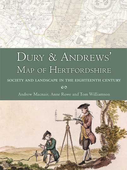
Dury & Andrews’ Map of Hertfordshire (Paperback)
Society and Landscape in the Eighteenth Century
Imprint: Windgather Press
Pages: 240
ISBN: 9781909686731
Published: 30th November 2015
(click here for international delivery rates)
Order within the next 10 hours, 24 minutes to get your order processed the next working day!
Need a currency converter? Check XE.com for live rates
This book is about the map of an English county – Hertfordshire – which was published in 1766 by two London map-makers, Andrew Dury and John Andrews.For well over two centuries, from the time of Elizabeth I to the late 18th century, the county was the basic unit for mapping in Britain and the period witnessed several espisodes of comprehensive map making. The map which forms the subject of this book followed on from a large number of previous maps of the county but was greatly superior to them in terms of quality and detail. It was published in a variety of forms, in nine sheets with an additional index map, over a period of 60 years. No other maps of Hertfordshire were produced during the rest of the century, but the Board of Ordnance, later the Ordnance Survey, established in the 1790s, began to survey the Hertfordshire area in 1799, publishing the first maps covering the county between 1805 and 1834. The OS came to dominate map making in Britain but, of all the maps of Hertfordshire, that produced by Dury and Andrews was the first to be surveyed at a sufficiently large scale to really allow those dwelling in the county to visualise their own parish, local topography and even their own house, and its place in the wider landscape. The first section examines the context of the map’s production and its place in cartographic history, and describes the creation of a new, digital version of the map which can be accessed online . The second part describes various ways in which this electronic version can be interrogated, in order to throw important new light on Hertfordshire’s landscape and society, both in the middle decades of the eighteenth century when it was produced, and in more remote periods. The attached DVD contains over a dozen maps which have been derived from the digital version, and which illustrate many of the issues discussed in the text, as well as related material which should likewise be useful to students of landscape history, historical geography and local history.
There are no reviews for this book. Register or Login now and you can be the first to post a review!
About Andrew Macnair
Andrew Macnair is a Research Fellow in the School of History, University of East Anglia. He read Natural Sciences at Queens' College, Cambridge prior to becoming a General Practitioner in rural Norfolk. In retirement he has developed an interest in computer-aided analysis of 18th century East Anglian maps.
About Anne Rowe
Anne Rowe is a freelance landscape historian who has coordinated research for the Hertfordshire Gardens Trust since 1998 and lectures in landscape history. Publications include books about Hertfordshire’s Garden History, Medieval Parks of Hertfordshire, chapters for the Historical Atlas of Hertfordshire and Hertfordshire: A landscape history – co-authored with Tom Williamson. She is currently working on a book about Hertfordshire’s parks in the 16th and 17th centuries.
About Tom Williamson
Tom Williamson was born in Hemel Hemstead in Hertfordshire, and was brought up in Bushey, before reading history and archaeology at Jesus College, Cambridge. Since 1984 he has taught at the University of East Anglia. He is now Professor of Landscape History there, and has written widely on landscape archaeology, agricultural history and the history of landscape design. He has a particular interest in the landscape history of Hertfordshire.

Pen and Sword Books
About Us | Contact Us | Delivery Information | Privacy Policy | Cookies | Affiliates | Terms and Conditions | Backlist | Mailing List | Reward Scheme | Review Request
© Pen and Sword Books Limited 2026. Registered in England No. 2527258.
Registered Office: 47 Church Street, Barnsley, S70 2AS.