


Google Books previews are unavailable because you have chosen to turn off third party cookies for enhanced content. Visit our cookies page to review your cookie settings.
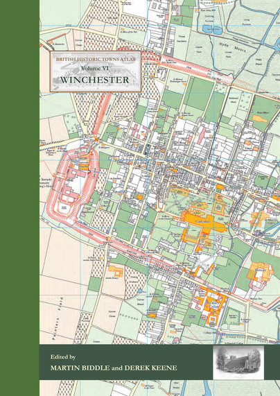
British Historic Towns Atlas Volume VI: Winchester (Hardback)
Imprint: Historic Towns Trust
Series: British Historic Towns Atlas
Pages: 144
Illustrations: 24 pp of colour maps, 90 illus., almost all in ful
ISBN: 9781785706660
Published: 21st November 2017
 Script Academic & Professional
Series: British Historic Towns Atlas
Pages: 144
Illustrations: 24 pp of colour maps, 90 illus., almost all in ful
ISBN: 9781785706660
Published: 21st November 2017
You'll be £70.00 closer to your next £10.00 credit when you purchase British Historic Towns Atlas Volume VI: Winchester. What's this?
+£4.99 UK Delivery or free UK delivery if order is over £40
(click here for international delivery rates)
Order within the next 4 hours, 3 minutes to get your order processed the next working day!
Need a currency converter? Check XE.com for live rates
(click here for international delivery rates)
Order within the next 4 hours, 3 minutes to get your order processed the next working day!
Need a currency converter? Check XE.com for live rates
The volume is co-published by the Winchester Excavations Committee and forms Volume 11 of the Winchester Studies series.
Following the success of volumes IV (Windsor and Eton) and V (York) in the series of Historic Towns Atlases, the new volume maps and explains the history of Winchester – a city which has played such an important part in English history from Roman times onwards.
Combining many full-colour maps with an authoritative but very readable text, the atlas shows how the Roman city of Venta Belgarum became the second-most important city in England for several centuries: a walled town, the seat of kings and an ecclesiastical centre almost unparalleled in the country, before gently declining into a judicial centre and county town.
The Atlas is centred on a detailed map of the city at the scale of 1:2500, showing Winchester's historic buildings and structures on a map of the city as it was in 1800. A series of maps show how Winchester was at key points in its history, charting its development and changing shape. The Atlas includes an early OS map, modern maps and historic aerial photographs, as well as colour illustrations, many of which have never been published before.
The introduction offers a full history of how and why Winchester developed from prehistoric times onwards, in a series of chapters written by historians but aimed at the general reader. It also includes a comprehensive reference gazetteer listing every place shown on the maps, with a map location, a brief history, and further reading for those interested in finding out more.
Like its companion volumes, the maps, text, gazetteer and illustrations are presented in an A3 stiff card binder, and the format allows for maps of different date to be compared side-by-side.
Customers who bought this title also bought...
Other titles in the series...
Other titles in Historic Towns Trust...
Pen and Sword Books
About Us | Contact Us | Delivery Information | Privacy Policy | Cookies | Affiliates | Terms and Conditions | Backlist | Mailing List | Reward Scheme | Review Request
© Pen and Sword Books Limited 2026. Registered in England No. 2527258.
Registered Office: 47 Church Street, Barnsley, S70 2AS.