


Google Books previews are unavailable because you have chosen to turn off third party cookies for enhanced content. Visit our cookies page to review your cookie settings.
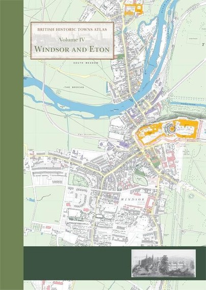
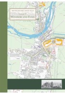
British Historic Towns Atlas Volume IV: Windsor and Eton (Hardback)
Imprint: Historic Towns Trust
Series: British Historic Towns Atlas
ISBN: 9781782978282
Published: 12th March 2015
 Script Academic & Professional
Series: British Historic Towns Atlas
ISBN: 9781782978282
Published: 12th March 2015
You'll be £34.95 closer to your next £10.00 credit when you purchase British Historic Towns Atlas Volume IV: Windsor and Eton. What's this?
+£4.99 UK Delivery or free UK delivery if order is over £40
(click here for international delivery rates)
Order within the next 2 hours, 10 minutes to get your order processed the next working day!
Need a currency converter? Check XE.com for live rates
(click here for international delivery rates)
Order within the next 2 hours, 10 minutes to get your order processed the next working day!
Need a currency converter? Check XE.com for live rates
This atlas is the definitive account in maps and words of the historic royal towns of Windsor and Eton. There has never been an account of the history of Eton town, and although Windsor Castle has been much studied, the last historical account of the town of Windsor was published as long ago as 1858.The atlas contains high-quality and original maps of the two towns at key periods between the twelfth and nineteenth centuries. At the heart of the atlas lies a detailed and minutely researched map showing all the major medieval and post-medieval features in the context of a large-scale map of the towns around 1870, using Ordnance Survey maps as a source. The substantial introduction to the history of these distinctive towns charts their development over eight centuries. The atlas is presented as a large-format, high-quality A3 folder, with maps and illustrations printed at A2, allowing clear detail to be seen.All the buildings, historic sites and streets named on the maps are comprehensively documented in a detailed gazetteer, covering the history of the sites and the many sources used in compiling the maps. The value of the atlas is enhanced by the inclusion of numerous colour illustrations, including early maps and views of the towns, many of them previously unknown.For the first time, new research by historians, archaeologists and cartographers has been brought together to compile this unique and original portfolio.
Other titles in the series...
Other titles in Historic Towns Trust...
Pen and Sword Books
About Us | Contact Us | Delivery Information | Privacy Policy | Cookies | Affiliates | Terms and Conditions | Backlist | Mailing List | Reward Scheme | Review Request
© Pen and Sword Books Limited 2026. Registered in England No. 2527258.
Registered Office: 47 Church Street, Barnsley, S70 2AS.