


Google Books previews are unavailable because you have chosen to turn off third party cookies for enhanced content. Visit our cookies page to review your cookie settings.
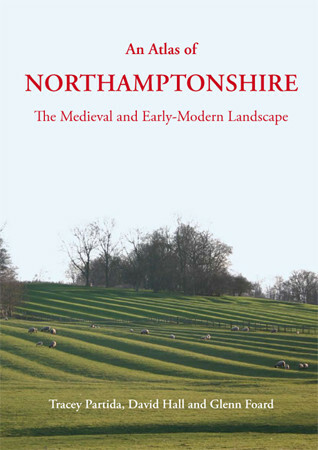
An Atlas of Northamptonshire (Hardback)
The Medieval and Early-Modern Landscape
Imprint: Oxbow Books
Pages: 280
Illustrations: 95 col illus.
ISBN: 9781842175118
Published: 8th January 2013
 Script Academic & Professional
Pages: 280
Illustrations: 95 col illus.
ISBN: 9781842175118
Published: 8th January 2013
You'll be £40.00 closer to your next £10.00 credit when you purchase An Atlas of Northamptonshire. What's this?
+£4.99 UK Delivery or free UK delivery if order is over £40
(click here for international delivery rates)
Need a currency converter? Check XE.com for live rates
(click here for international delivery rates)
Need a currency converter? Check XE.com for live rates
An Atlas of Northamptonshire presents an historical atlas of the greater part of Northamptonshire (the first quarter having been published as An Atlas of Rockingham Forest). It presents in map form the results of fieldwork and documentary research undertaken since the mid-1960s to map the landscape of the whole of Northamptonshire prior to enclosure by Parliamentary Act. This is the first time a whole county has been completely studied in this way, and the first time a whole county has had an accurate view of its medieval landscape with details of the medieval fields, woods, pastures and meadows which have been mapped by ground-survey of archaeological remains confirmed where possible from aerial photographs and early maps. It is also the first time a county has been mapped showing all pre-parliamentary enclosure providing comprehensive data for the difficult theme of early enclosure in a midland county. Complete relevant historic map sources are listed, many in private possession and not lodged with county record offices. Settlements are discussed based on the detailed mapping of every house depicted on historic maps as wells the extent of earthworks, which provides much new evidence relative to settlement development in the Midlands. As well as being highly relevant for anyone studying medieval settlements and enclosure, it illustrates how GIS can be used to present a very large amount of historical and landscape data for any region. The clearly laid out maps in full colour throughout contain an immense amount of data which together provide a fascinating new portrait of this historic county.
Other titles in Oxbow Books...
Pen and Sword Books
About Us | Contact Us | Delivery Information | Privacy Policy | Cookies | Affiliates | Terms and Conditions | Backlist | Mailing List | Reward Scheme | Review Request
© Pen and Sword Books Limited 2025. Registered in England No. 2527258.
Registered Office: 47 Church Street, Barnsley, S70 2AS.