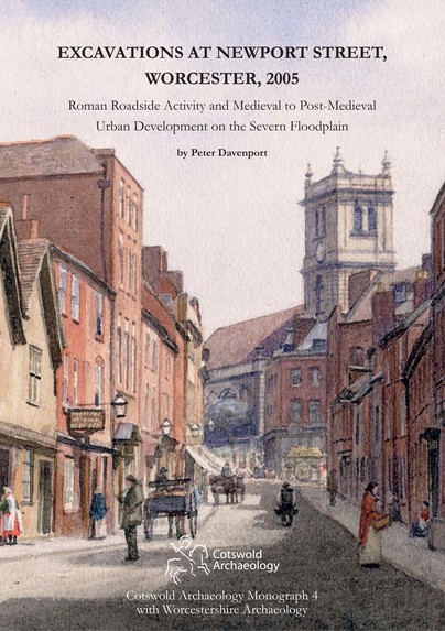
Excavations at Newport Street, Worcester, 2005 (Hardback)
Roman Roadside Activity and Medieval to Post-Medieval Urban Development on the Severn Floodplain
Imprint: Cotswold Archaeology
Pages: 286
ISBN: 9780955353499
Published: 31st January 2016
Script Academic & Professional
Pages: 286
ISBN: 9780955353499
Published: 31st January 2016
Script Academic & Professional
You'll be £21.95 closer to your next £10.00 credit when you purchase Excavations at Newport Street, Worcester, 2005. What's this?
+£4.99 UK Delivery or free UK delivery if order is over £40
(click here for international delivery rates)
Need a currency converter? Check XE.com for live rates
(click here for international delivery rates)
Need a currency converter? Check XE.com for live rates
Excavation of approximately a third of a hectare in the north-western part of the historic core of Worcester revealed evidence for activity dating from the Roman to the post-medieval and early modern period. The deepest deposits were recorded in geotechnical and archaeological boreholes, and in two sondages: the rest of the site was excavated to the depth of formation level for development.
The earliest feature was a Roman road running on the approximate alignment of the present-day Newport Street. Deposits relating to road construction and ground consolidation comprised metal-working waste, with finds of later 2nd to 3rd-century date. No in situ evidence of Roman occupation was excavated. These levels were sealed by alluvial deposits. In the early 13th century the area was divided by boundaries, which were consolidated during the subsequent medieval and post-medieval periods into building plots with frontages onto both Newport Street and Dolday. The Newport Street frontage was developed with substantial stone and timber buildings, some over stone-built cellars. A series of ovens, hearths, structures and surfaces suggest a mixture of craft and domestic activities took place in the back plots of these properties. The style, construction and layout of some of the medieval buildings, coupled with artefactual and environmental evidence, suggest the occupants were relatively prosperous.
The major plot boundaries changed little throughout the post-medieval and early modern period, although documentary research indicates a complex history of ownership and holdings featuring sub-division, amalgamation and multiple occupancy. The street frontages of both Newport Street and Dolday continued to be occupied throughout the post-medieval and early modern periods. Open spaces and structural remains, including wells, hearths, ovens and cess pits, in the back plots reflect a variety of activities associated with trade and domestic activity. Finds and environmental evidence has helped to link some of these structures to trades associated with the owners and occupants known from historical records. The remains of bread-ovens, a bake-house, a malthouse and a warehouse for hemp have been identified, and there is more tentative archaeological evidence for cordwaining, cloth-making, brewing and distilling, the latter trades replacing cloth-making as that trade declined in the 17th and 18th centuries. The sub-division of properties and the crowding of small cottages into the back plots during the 18th and 19th centuries reflect the increase in residential occupancy that resulted in over-crowding and a decline in status for this area of the city.
The excavations represent the first large-scale archaeological investigation of this part of Worcester. The results complement those of previous major investigations of the Roman and medieval town and provide valuable insights into the economic and social status of the medieval town’s expansion onto the former floodplain. An integrated approach, analysing all aspects of the archaeological evidence in combination with detailed study of the available documentary and historical sources, has been particularly valuable in achieving an understanding of the site in later periods, providing the first major archaeological study of the post-medieval development of the city.
Other titles in Cotswold Archaeology...


