


Google Books previews are unavailable because you have chosen to turn off third party cookies for enhanced content. Visit our cookies page to review your cookie settings.
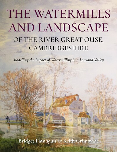
The Watermills and Landscape of the River Great Ouse, Cambridgeshire (Paperback)
Modelling the Impact of Watermilling in a Lowland Valley
Imprint: Windgather Press
Pages: 176
Illustrations: 50 b/w and color illustrations
ISBN: 9781914427411
Published: 30th June 2025
 Script Academic & Professional
Pages: 176
Illustrations: 50 b/w and color illustrations
ISBN: 9781914427411
Published: 30th June 2025
You'll be £29.95 closer to your next £10.00 credit when you purchase The Watermills and Landscape of the River Great Ouse, Cambridgeshire. What's this?
+£4.99 UK Delivery or free UK delivery if order is over £40
(click here for international delivery rates)
Order within the next 5 hours, 19 minutes to get your order processed the next working day!
Need a currency converter? Check XE.com for live rates
(click here for international delivery rates)
Order within the next 5 hours, 19 minutes to get your order processed the next working day!
Need a currency converter? Check XE.com for live rates
The River Great Ouse in Cambridgeshire has a long history of watermilling, stretching back to at least the 10th century and possibly to the Roman period. The authors use remote sensing (LiDAR), cartographic analysis, fieldwork, documents (especially contemporary litigation) and literary sources to reveal new findings about this fascinating landscape. The Great Ouse’s watermills were recorded as the most valuable in England in the Domesday Survey. All their sites are located, several having been long lost, and a comprehensive explanation for their national pre-eminence is given. The expansion of activity in the Middle Ages is investigated through a detailed study of the disputes arising from the competing uses of the river and its floodplain for watermilling, navigation and farming. Channel features that, hitherto, have either been ignored or attributed to natural processes are shown to be the result of milling activity. The continuing impact of watermilling on the landscape until its decline in the second half of the 19th century is analysed. The authors’ findings have broader implications for the understanding of the development of watermilling in lowland river landscapes; the evolution of parish boundaries; and the development of multi-channel river forms. They conclude by advocating a mapping methodology that designates landscape features resulting from watermilling as heritage assets, to guide planning decisions.
Customers who bought this title also bought...

Other titles in Windgather Press...


Pen and Sword Books
About Us | Contact Us | Delivery Information | Privacy Policy | Cookies | Affiliates | Terms and Conditions | Backlist | Mailing List | Reward Scheme | Review Request
© Pen and Sword Books Limited 2026. Registered in England No. 2527258.
Registered Office: 47 Church Street, Barnsley, S70 2AS.